This is the first of a planned series of semi-regular articles covering various topics intended to be of interest to all participants and event organisers. If you have a technical question or topic you would like to see our coaches cover, please send it in to office@act.orienteering.asn.au.
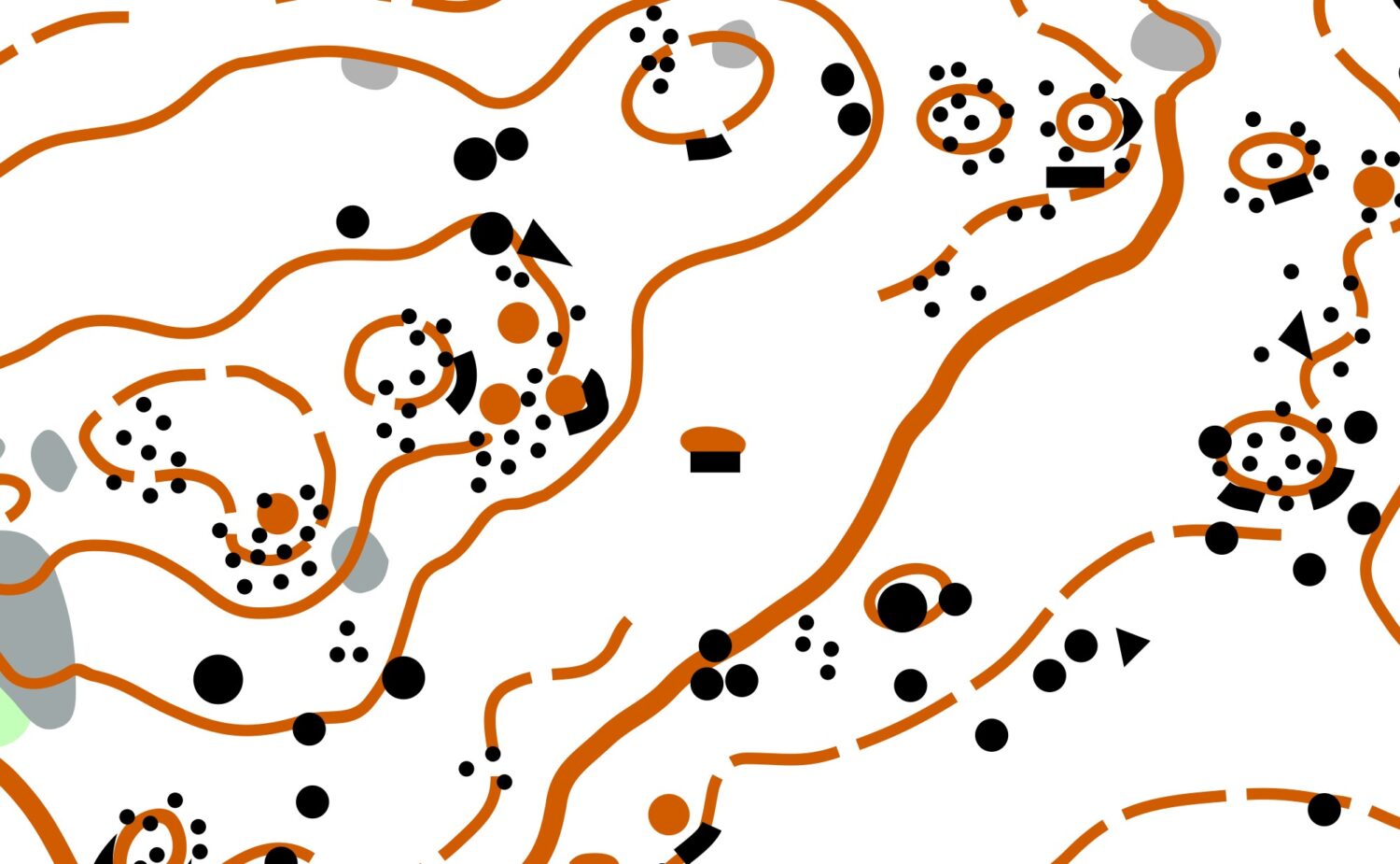
This Saturday’s Metro Series event at Mt Painter will feature a newly updated map, particular attention has been paid to interpreting the area’s abundant rock detail. Orienteering maps use various symbols to depict rock detail; refresh and test your knowledge with the quick reference chart and sample matching challenge below.
Map Symbol
Control Description
Drawing
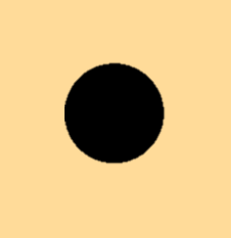
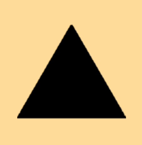
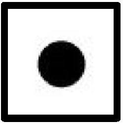
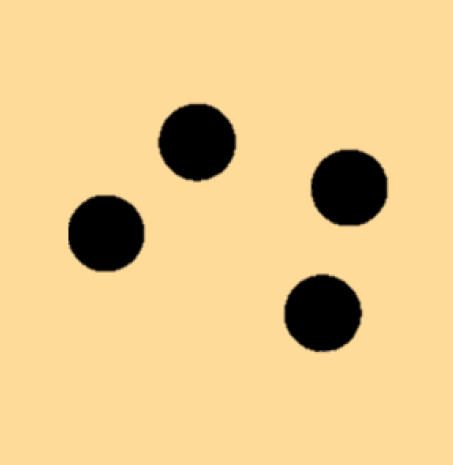
Boulder
A prominent freestanding rock, usually >1m tall.
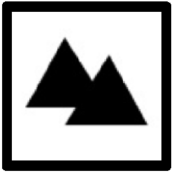
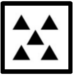
Boulder Cluster
A group of at least 3 boulders which may form a pile.
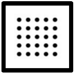
Boulder Field
An area covered by many boulders that cannot be individually mapped.
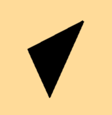
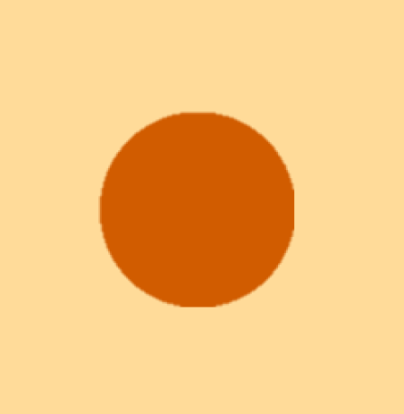
Knoll
A small obvious mound. It might be a gently sloping boulder that can be walked over.
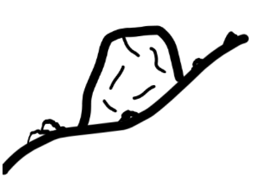
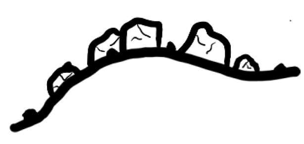
Cliff
A cliff or rock face. May be passable or impassable.
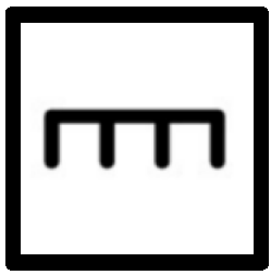
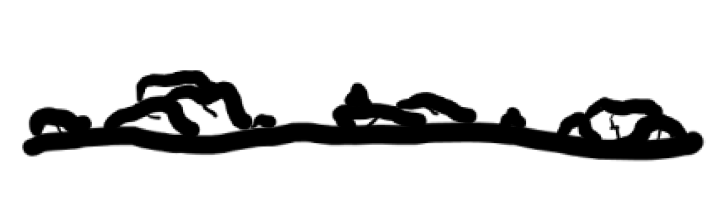
Stony Ground
An area covered with many smaller stones or rocks.
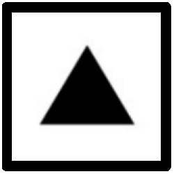
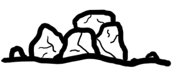
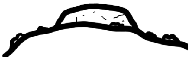
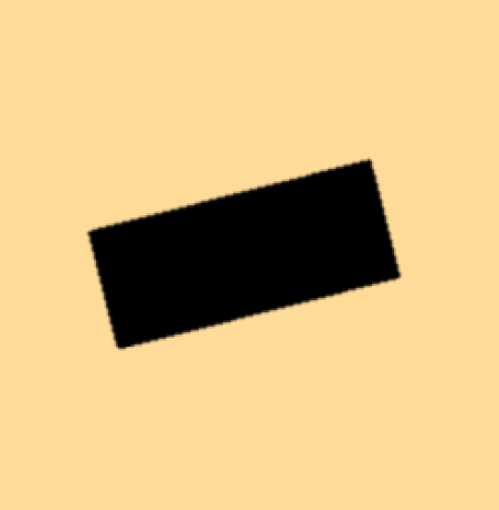
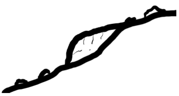
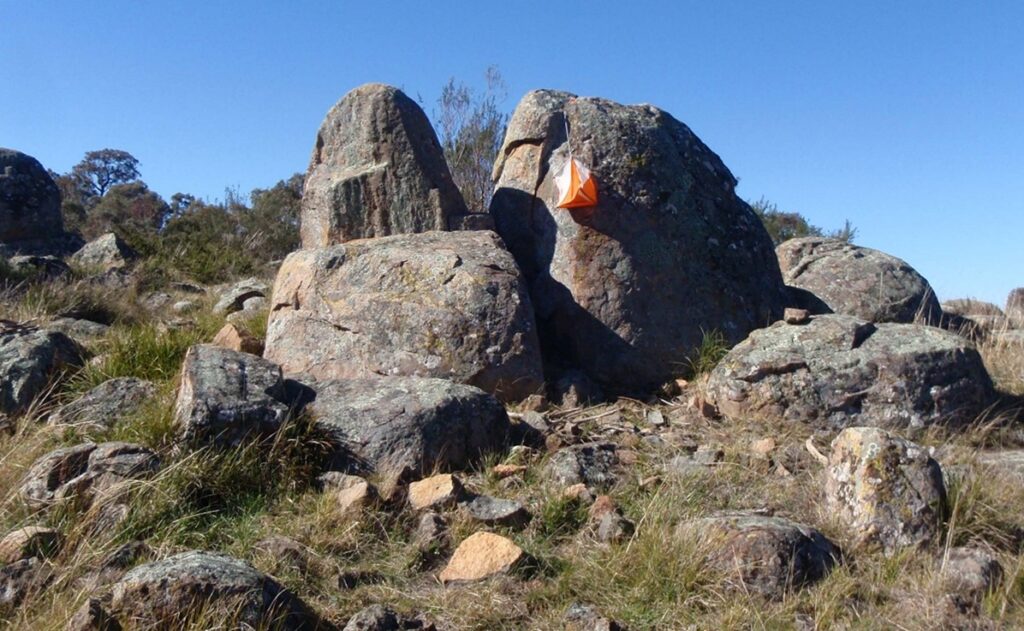
Test Yourself!
Try matching each of the below map samples to its corresponding photo. Solutions are included below.
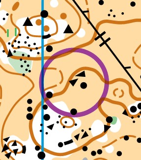
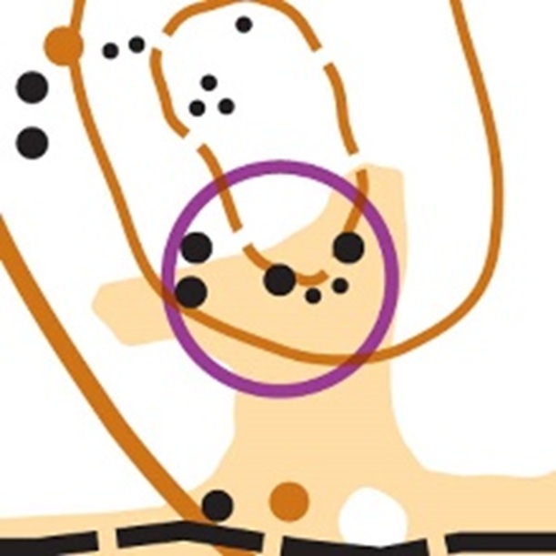
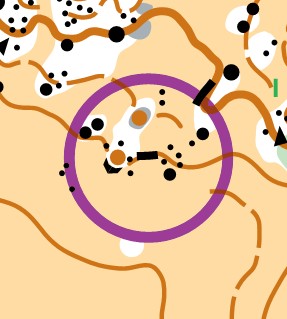
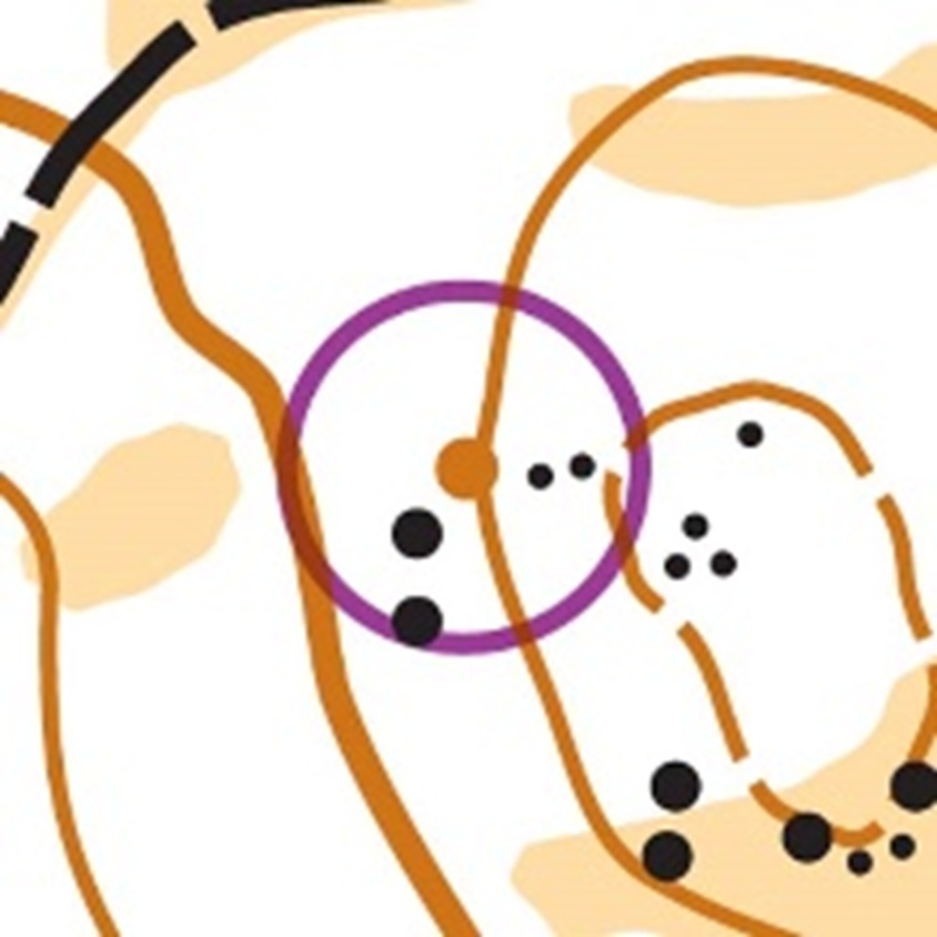
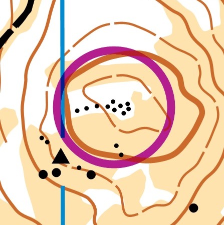
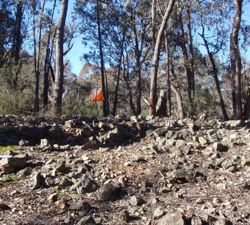
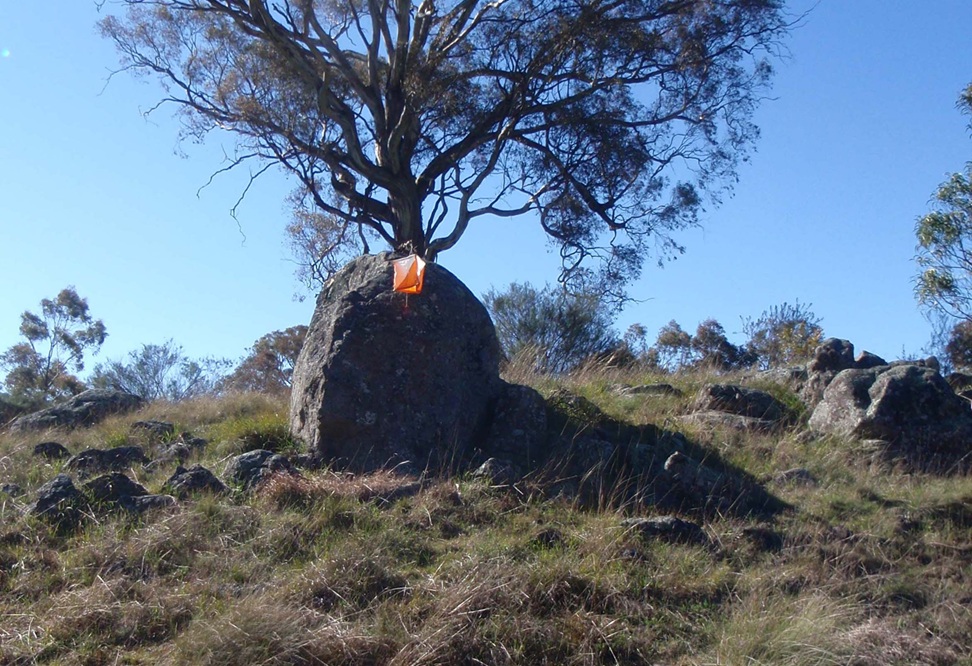
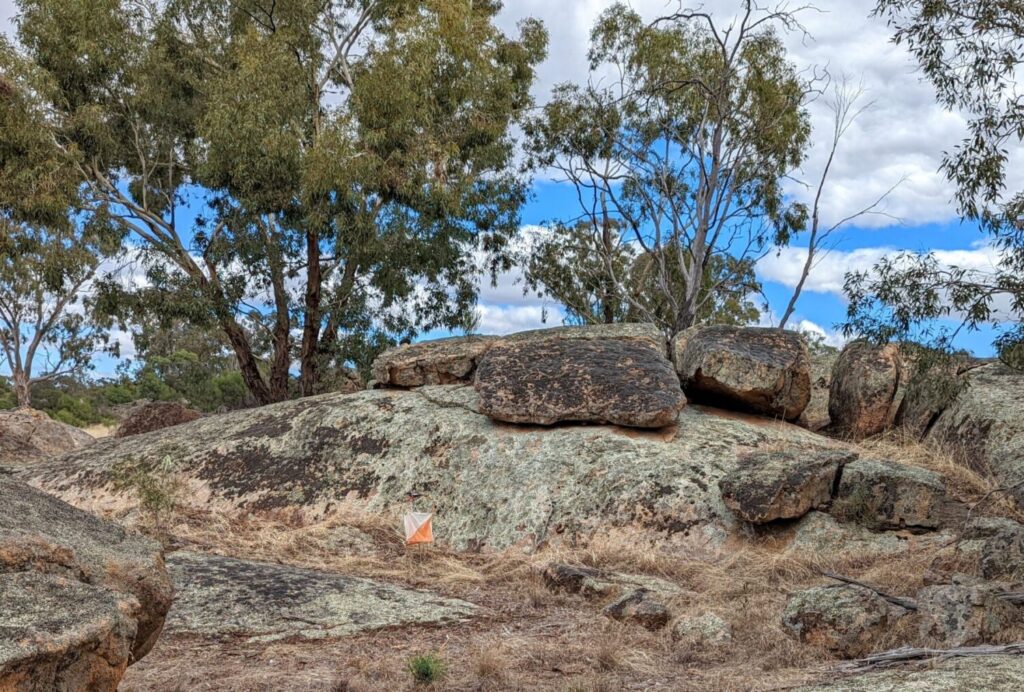
Photo: Neil Barr, O-map wiki
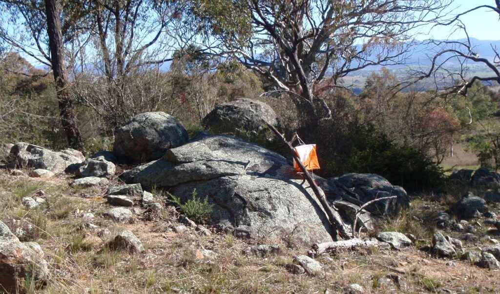
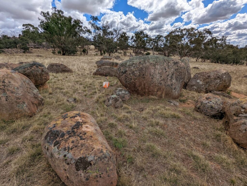
Photo: Neil Barr, O-map wiki
Click to reveal solutions
-
A=6 (boulder cluster), B=5 (boulder field), C=2 (boulder), D=3 (cliff), E=4 (knoll), F=1 (stony ground)