Entries are now open for the third event of the 2021 ACT League, at Mt Clear on Sunday 2 May.
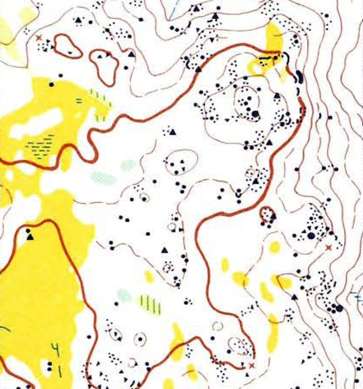
Mt Clear was first mapped as a training area for the 1985 World Championships and was used for the 1984 Australian Championships, one of only six events held before the map fell into disuse. The area has not been used for orienteering for more than 20 years. The map has been painstakingly redrawn and updated for this event.
The original 1984 map can be viewed here.
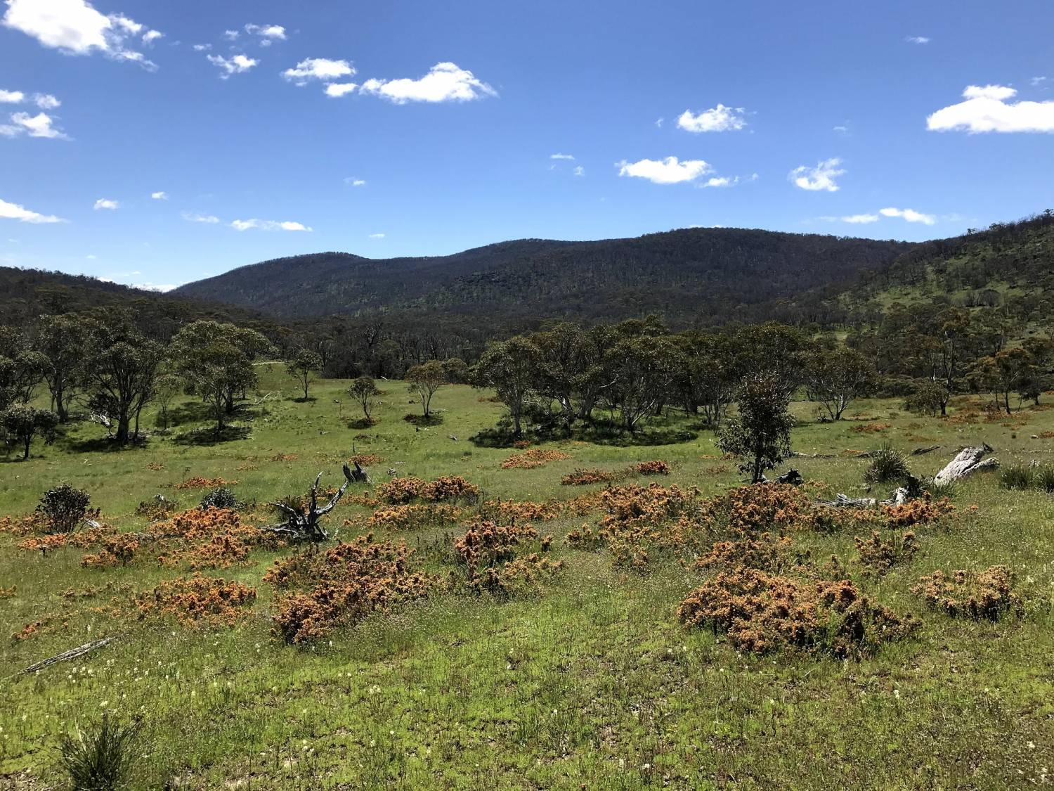
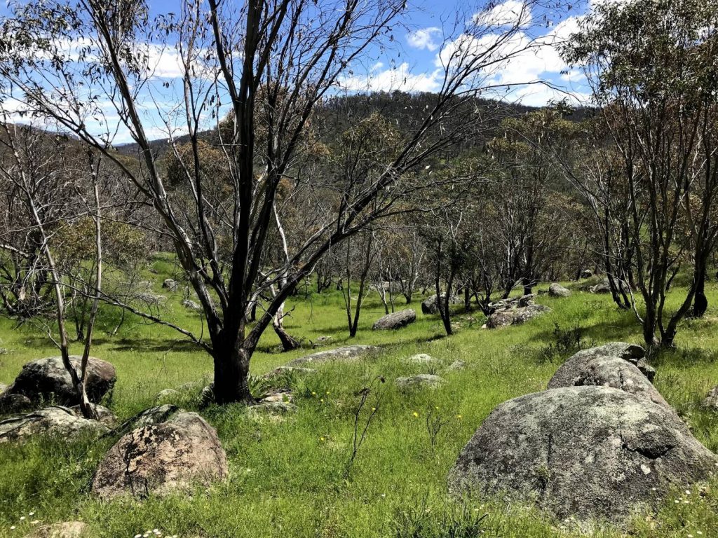
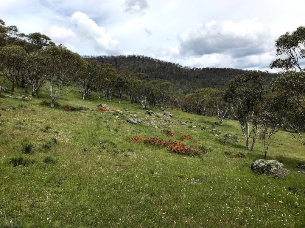
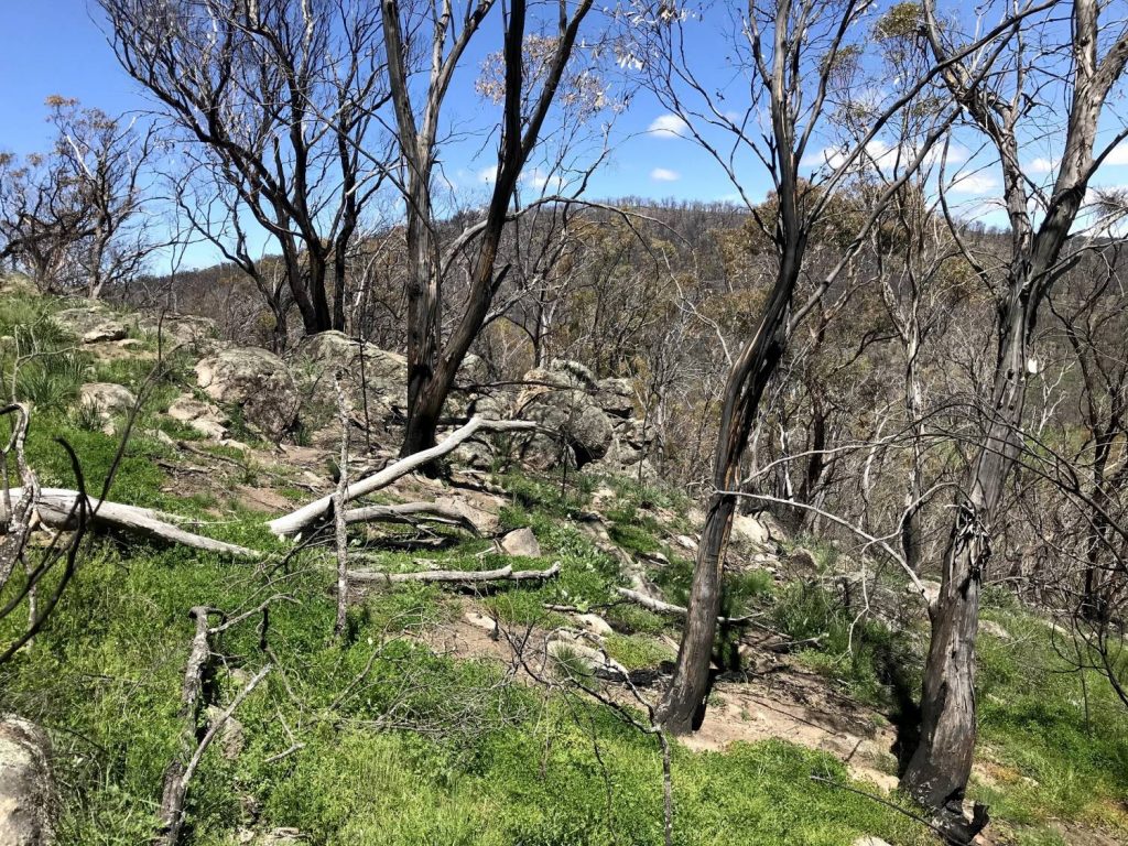
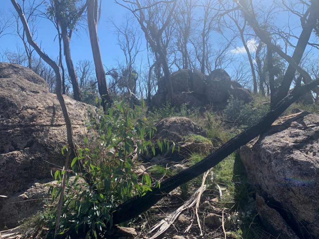
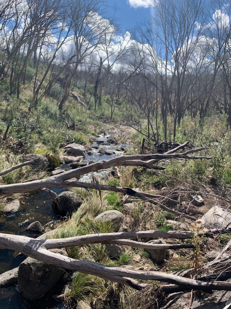
The terrain is typical of southern Namadgi, similar to the nearby and more recently used Boboyan Divide area. Open valleys with areas of marsh, give way to tall hillsides covered in granite boulders. Beyond the steep climb lies a broad plateau with numerous knolls and ridgelines, all with scattered granite.
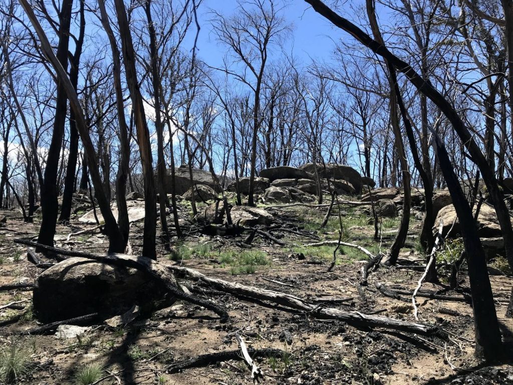
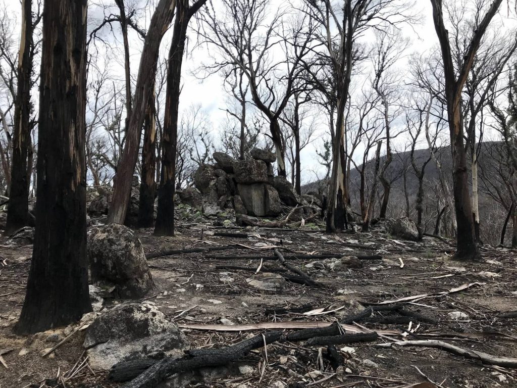
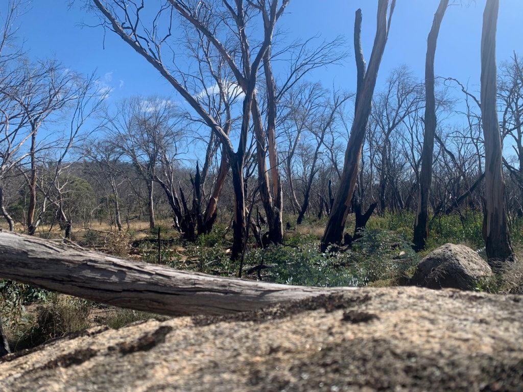
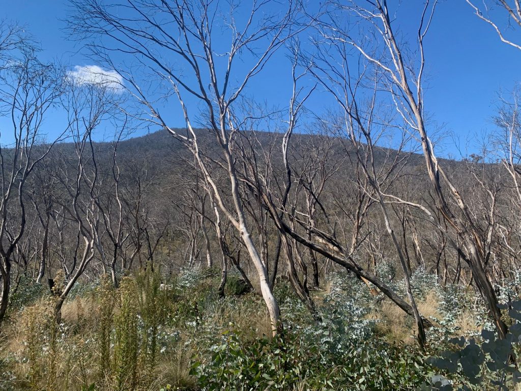
The area was impacted by bushfire in summer 2019-20, with some areas, particularly on top of the ridges, severely affected; other parts, especially in the open section to the north, are largely untouched. Visibility is excellent throughout, but runability is variable due to areas of fallen timber, rocky ground, and limited areas of grassy regrowth.
All entrants should read the Course Setter’s Notes.
A full range of courses are available, with lengths and difficulty to suit all abilities.
If you haven’t entered a Classic Series event before, please refer to this guide to help you choose a suitable course.
| V EASY | EASY | MOD 2 | MOD 1 | HARD 5 | HARD 4 | HARD 3 | HARD 2 | HARD 1 | |
|---|---|---|---|---|---|---|---|---|---|
| Length (km) | 1.8 | 2.7 | 3.2 | 4.4 | 2.8 | 4.4 | 6.4 | 8.4 | 9.6 |
| Climb (m) | 50 | 65 | 100 | 140 | 90 | 200 | 250 | 310 | 420 |
| Controls | 11 | 10 | 8 | 11 | 10 | 9 | 12 | 18 | 19 |
Pre-entry is essential, enter here by 12pm Thursday 29 April.
Remember to check your course, class, club, and SI number when entering.

