Embargoes have been announced for next year’s Australian Championships to be held in Tasmania from 26 Sept – 4 Oct. Terrain highlights include granite boulders, intricate erosion detail, confusing contours and stunning coastline.
Competitors must not train on or visit the following areas. Anyone breaking any embargo will be disqualified from competing at the relevant event.
- Australian Sprint: The University of Tasmania, Launceston Campus.
The relevant old map is known as University of Tasmania – Launceston.
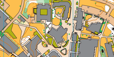
- Australian Middle: NEW Area! Ericksons Road, Goshen Tasmania.
From a point 41°18’S, 148° 7’E south to the junction with Argonaut Road at 41°19’S, 148° 7’E and terrain extending 2 km either side of that length of road. - Schools Sprint: Bicheno Township, Tasmania.
From Murray Street in the west including all the streets and foreshore to the north and east, and extending south to Weily Avenue.The Whalers Lookout and Lookout Rock State Reserves are included. The relevant old map is known as Waubadebar – Bicheno.
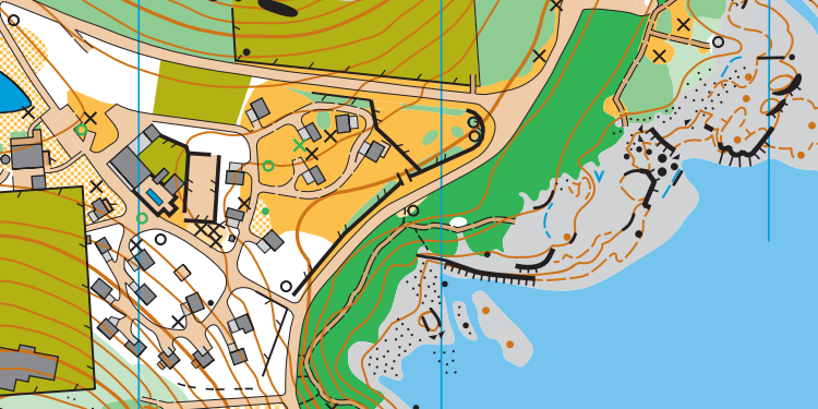
- Schools Long: The Mount Pearson State Reserve, Tasmania
Including all the terrain covered by the old map known as Mt Pearson.
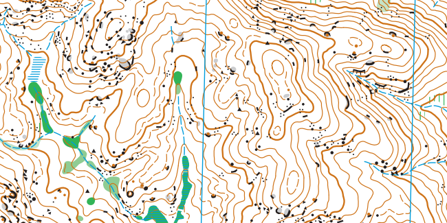
- Schools Relay: Launceston Track, St Helens Tasmania.
The area of Golden Fleece and Transit Flat maps centred on the junction of Launceston Track and Transit Track and extending West of the junction 5 km either side of this junction.
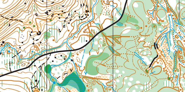
- Australian Relay: Argonaut Road, St Helens, Tasmania.
3 km to north and 3 km to south of Argonaut Road, from a point 41°19’S, 148° 8’E (quarry access road) in the west to 41°18’S, 148° 9’E (moonscape) in the east. - Australian Long: NEW Area! Bells Marsh Forest Reserve, Tasmania.
From the gate off Hodges Road to the west and along Bells Marsh Track to Ansons Bay Road in the east, all the terrain south to the Georges River and east to the private land at Priory. - Tasmanian Middle: Castle Cary Regional Reserve Avoca, Tasmania.
All the terrain described by the existing map Rajah Rock as well as its extension west towards Storeys Creek Road.
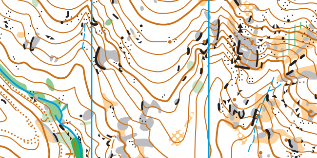
More information on the embargoed areas and the rest of the carnival can be found on the event website.
These areas join others already embargoed for championship events in 2020:
For Easter 2020:
- Charles Sturt University.
- The area known locally as Noahs Ark Ridge, to the north of Packham Drive, SW of Molong (private property).
- Gumble Pinnacles (private property).
For 2020 OACT events:
- Australian Defence Force Academy campus, Long Tan Road, Campbell [until 5 Apr 2020]
- Broulee Dunes: area enclosed by southern edge of Broulee, Moruya airport, the ocean and George Bass Drive [until 17 May 2020]
- Eurobodalla Regional Botanic Gardens [until 18 May 2020]

